
Taftsville Bridge Renewed - September 7, 2013
WGN 45-14-12

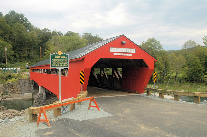
Taftsville Bridge south portal facing U.S. Route 4
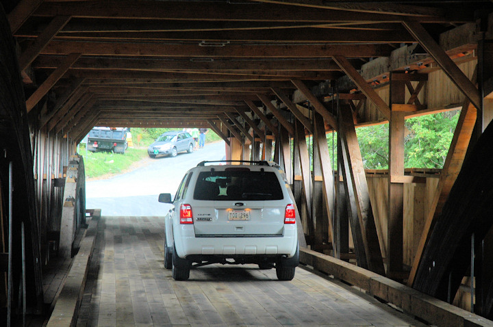
The steel knee braces have been replaced with wooden ones.
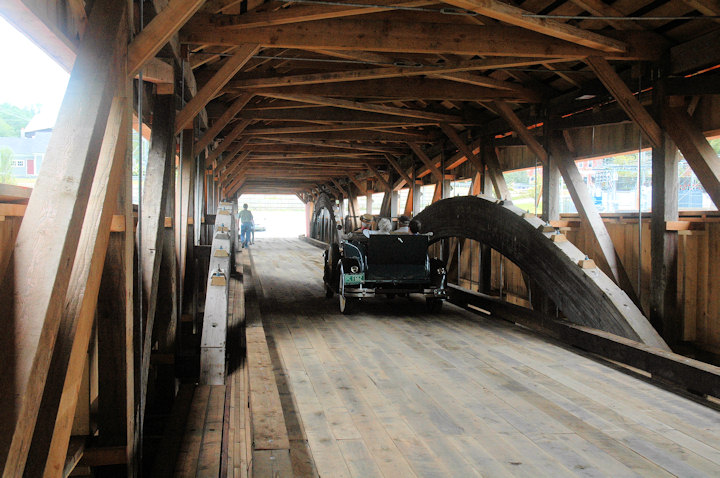
The laminated arches prominent in this view were installed in the early 1900s
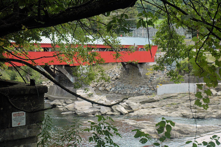
Taftsville Bridge east side. See the new abutment at right replacing that lost to Tropical Storm Irene. Note how the arches met the center pier and abutments.
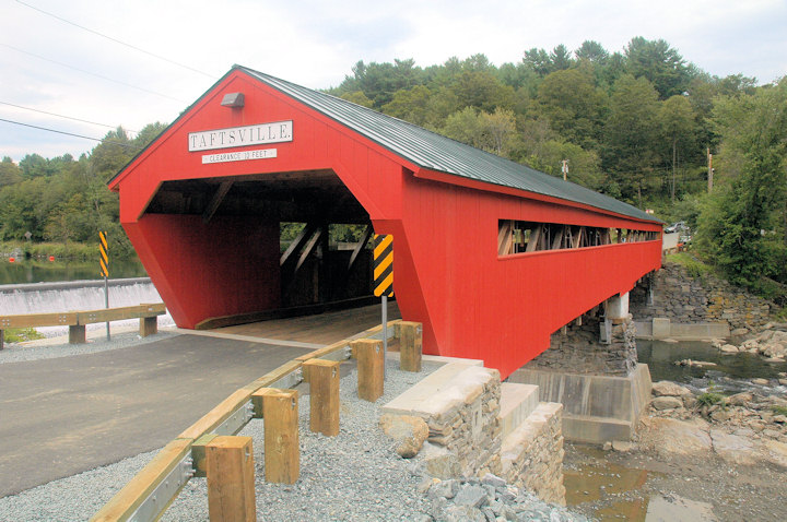
The new south abutment features a cast cap with simulated stone.
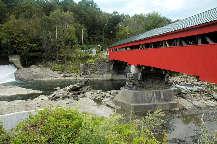
Overview of upstream, or west side of the Taftsville Bridge adjacent to the dam. The abutments, wingwalls and center pier upgraded to resist another tropical storm like Irene.
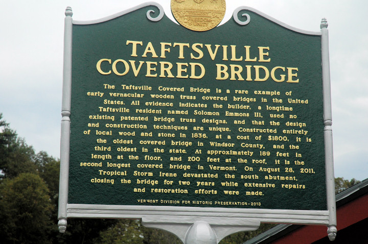
Historic Marker
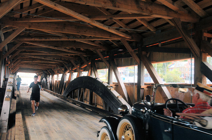
Vintage car passes through
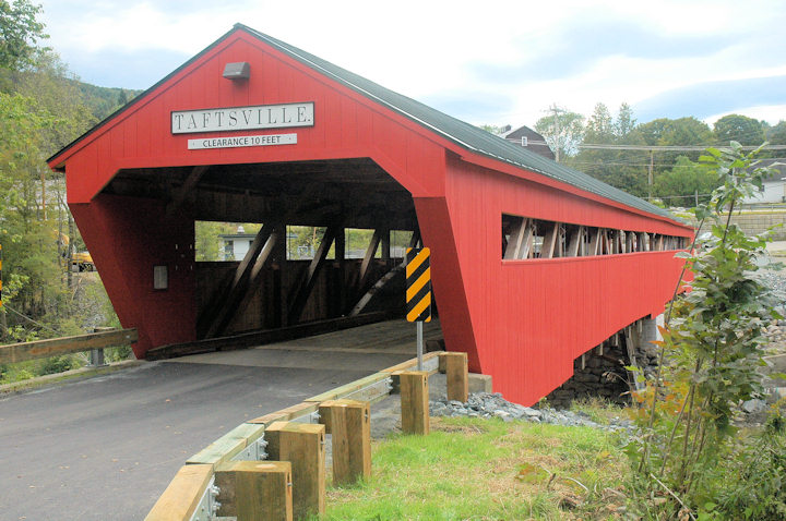
Taftsville Bridge north portal facing River Road.
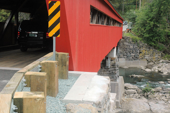
West view, or downstream side of the of the span. Note the wing wall of the north abutment.
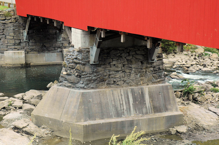
The Center pier had a concrete cap placed on top of the structure of stone laid up dry, added missing stone, tuck pointed the surfaces, then consolidation-grouted the pier from the bottom up, filling voids in the existing stone pier, drilled nine holes 35' deep from the top down into ledge rock and installed heavy steel anchor rods grouted into ledge rock.
Editor's note: This item was originally posted on September 14, 2013.
